Autumn UAV Monitoring in the BioClima Case Study, Vysočina Region
The November field campaign completed the 2026 series of three UAV surveys at the BioClima case study site in the Vysočina region, giving a basis for assessing seasonal vegetation development and its response to climatic conditions
 Karel Charvát (Plan4all)
•
Nov. 6, 2026
The November field campaign completed three UAV surveys for 2026, providing a basis for assessing seasonal vegetation development and responses to climatic conditions.
On 5 November 2026, another field campaign took place at the BioClima case study site in the Vysočina region, with the participation of staff from the University of West Bohemia (UWB) and Plan4all (P4A). The activities focused on UAV image acquisition and maintenance of the ground-based monitoring infrastructure.
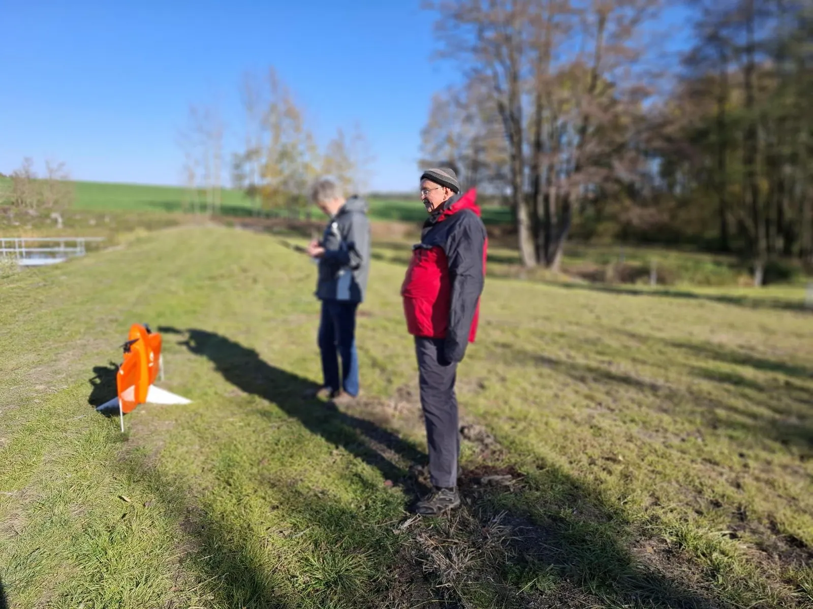
Ground markers in place before the drone flight. Photo: Plan4all
Three drone surveys in one growing season
The drone survey completed a series of three image acquisitions carried out during 2026. These datasets will support the assessment of vegetation changes throughout the growing season and their relationship with observed climatic conditions.
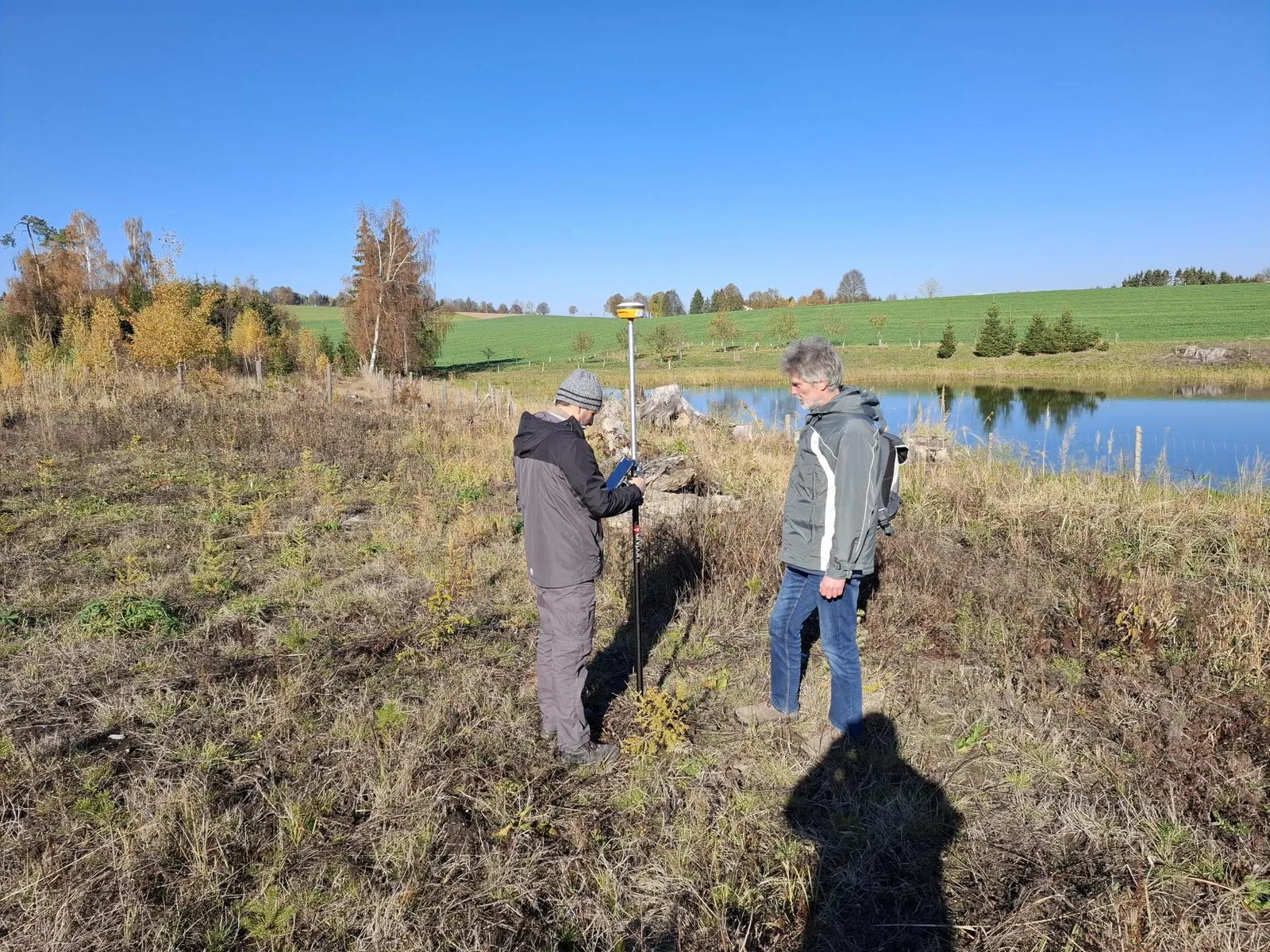
Measuring exact positions with a GNSS receiver at the case study site. Photo: Plan4all
Ground sensors for calibration
Alongside the UAV survey, the team maintained the sensors that provide ground-based reference measurements for calibration and interpretation of the monitoring data.
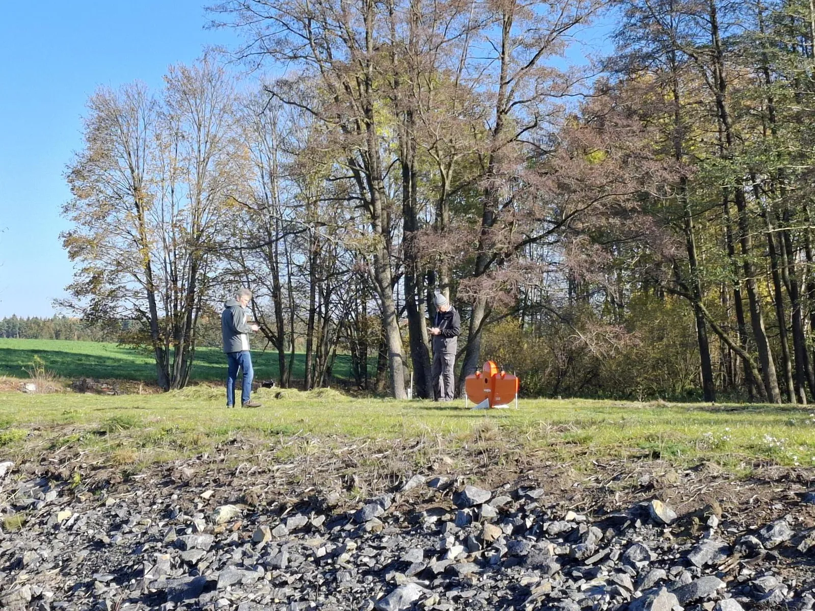
Field work at the BioClima case study site in the Vysočina region. Photo: Plan4all
From 3D models to tree growth
The acquired imagery and sensor measurements will be analysed together with vegetation observations and assessments conducted during the growing season. A specific objective is to use three-dimensional models derived from repeated UAV surveys to assess seasonal growth increments of individual trees and compare development across different tree species.
Next steps in 2027
UAV surveys, ground-based measurements and vegetation assessments will continue in 2027, extending the observation series and supporting longer-term evaluation of vegetation responses to changing climatic conditions.
Text: Karel Charvát, Plan4all