BioClima presented at a remote sensing workshop “From Imagery to Decision – Remote Sensing for Everyday Practice”
Based on materials presented at the workshop held in Dolní Újezd on 11 September 2026.
 VSUO Team – Research and Breeding Institute of Pomology Holovousy
•
Sept. 29, 2026
VSUO Team – Research and Breeding Institute of Pomology Holovousy
•
Sept. 29, 2026
On 11 September 2026, BioClima activities were presented during the workshop “From Imagery to Decision – Remote Sensing for Everyday Practice”, held in Dolní Újezd, Czech Republic. The event brought together researchers, technology providers and agricultural practitioners and focused on the practical use of Earth Observation and remote sensing technologies in everyday decision-making.
Jiří Sedlák from the Research and Breeding Institute of Pomology Holovousy opened the technical programme with the invited lecture “From Satellite to Vegetation and Soil: Integrated Use of Remote Sensing in Agriculture under Climate Change”. The presentation introduced a multiscale monitoring concept ranging from satellite Earth Observation through piloted airborne platforms and UAV-based imaging to ground-based meteorological and soil measurements.
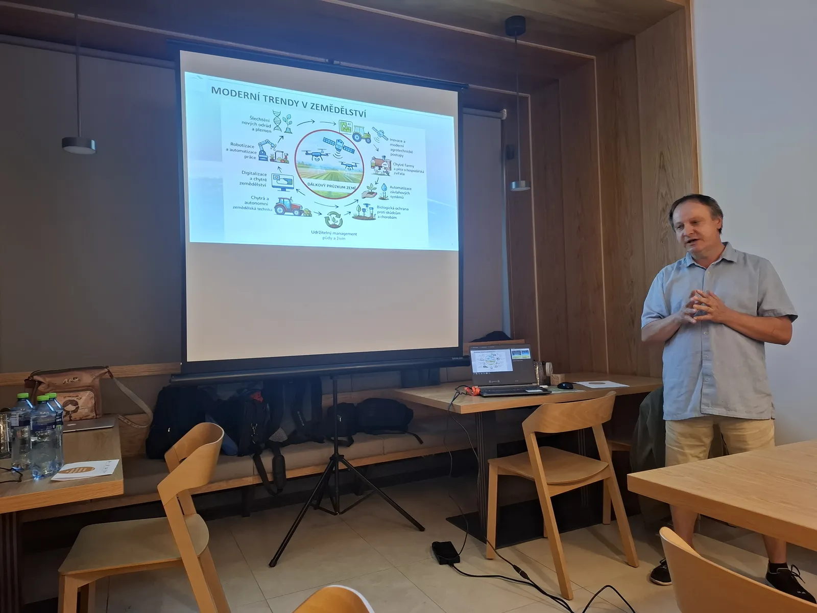
Opening of the technical programme with the invited lecture “From Satellite to Vegetation and Soil: Integrated Use of Remote Sensing in Agriculture under Climate Change”.
Particular attention was given to the integration of different observation layers and to the importance of field validation when interpreting remotely sensed information. The lecture moved through the full observation chain: satellite systems, high-altitude and piloted aircraft, stratospheric balloons and HAPS, UAVs, field meteorological and soil sensors, biological field observations and laboratory analyses. The central message was that no single sensor or platform is sufficient for understanding complex ecosystem responses. Satellite data provide repeated regional coverage, aircraft and UAVs add spatial detail, while in-situ measurements and laboratory analyses provide the biological and environmental context needed for interpretation and validation.
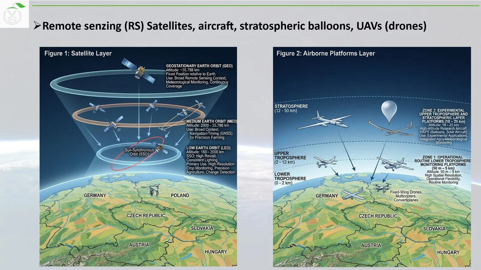
Overview of observation layers from satellites to field sensors
The main practical example was the Czech BioClima pilot in the Vysočina region. The pilot demonstrates an integrated monitoring concept in which Earth Observation is combined with local meteorological and soil measurements, UAV observations, field biodiversity information and complementary laboratory analyses, including ICP-MS soil analysis. The aim is not only to describe vegetation condition, but also to connect biodiversity indicators with climate variables and landscape processes in a common analytical framework.
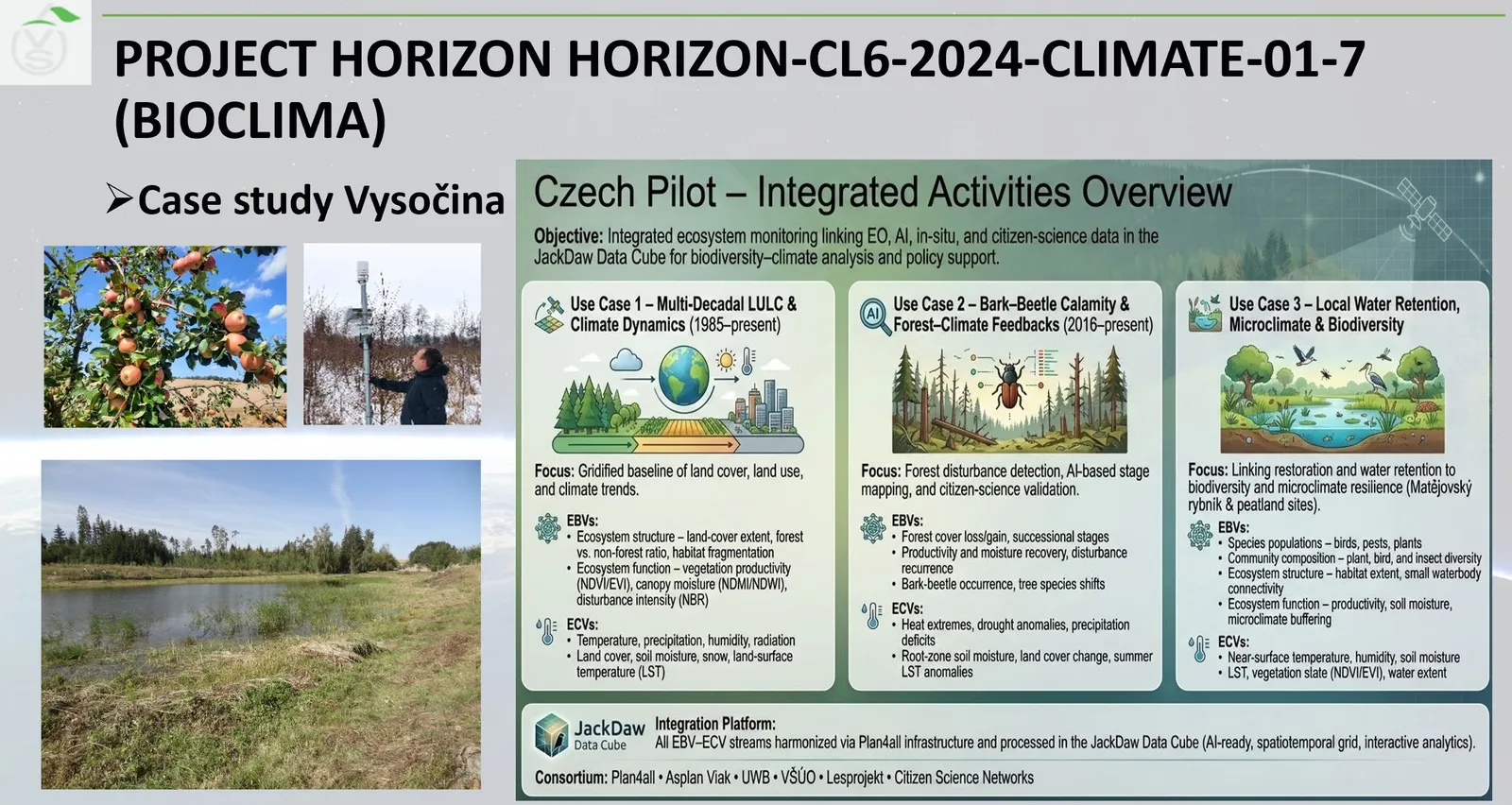
BioClima -Case study Vysočina
Farmers and agricultural enterprises are an integral part of agroecosystems and agrobiodiversity, and their management decisions directly shape the condition and resilience of rural landscapes. At the same time, agriculture is increasingly affected by climate change, including shifts in temperature, water availability, soil conditions and the frequency of environmental stress. For this reason, Earth Observation, field sensing and biological observations can be used together to monitor not only agricultural production, but also broader changes in biodiversity and ecosystem functioning. The workshop therefore provided a practical example of how the BioClima approach can support stakeholders who actively manage the landscape and whose everyday decisions are closely linked with biodiversity conservation and climate adaptation.
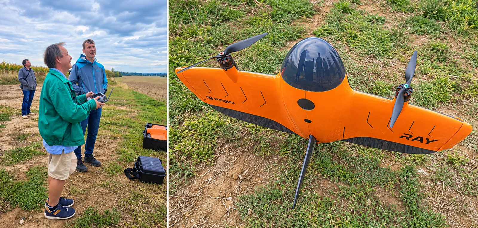
Drone flight demonstrations and vegetation screening - a new type of convertiplane