🌿 Meet Our Partners – BioClima Project 🇧🇪 KU Leuven – Katholieke Universiteit Leuven
KU Leuven supports BioClima with expertise in Earth observation and land-use modelling for climate-resilient, biodiversity-friendly agriculture.
 Anne Gobin (KU Leuven)
•
April 20, 2026
Anne Gobin (KU Leuven)
•
April 20, 2026
📍 Belgium | 🌐 www.kuleuven.be
About KU Leuven
KU Leuven is one of Europe’s oldest and most prestigious research universities, consistently ranked among the top institutions globally. Within BioClima, the Department of Earth and Environmental Sciences brings world-class expertise in agri-environmental modelling, landscape dynamics, and Earth observation-based monitoring.
Through multidisciplinary approaches that combine ecology, geoinformatics and policy analysis, KU Leuven supports research with direct environmental and societal impact.
Cover photo: Geo-Institute at KU Leuven – visit our research teams: https://ees.kuleuven.be/en/research
Role in BioClima
KU Leuven plays a vital role in advancing land-use modelling and in integrating biodiversity indicators within agricultural landscapes into climate mitigation and adaptation strategies. The team contributes to the development and application of advanced geo-data analytics, including the use of remote sensing and spatial modelling techniques, to assess land-use dynamics and ecosystem responses. In addition, KU Leuven supports the design of policy-relevant scenarios that explore trade-offs and synergies between agricultural production, biodiversity conservation and climate objectives. By linking high-resolution data with decision-support frameworks, the team ensures that BioClima tools are scientifically robust, scalable and directly applicable to agricultural landscape management and policy development.
Key activities include:
✅ Modelling climate adaptation in agriculture
✅ Assessing land-use change impacts on biodiversity in agricultural areas
✅ Integrating EBVs and ECVs in terrestrial monitoring
✅ Contributing to Nature Futures Framework development
✅ Supporting standardised data reporting and forecasting tools
With experience in projects such as SIEUSOIL, STARGATE and SPACE4GEO, KU Leuven ensures BioClima’s scientific outputs are deeply connected to EU and global sustainability goals.
🌱 KU Leuven provides the scientific backbone for understanding the links between land, climate and biodiversity – today and for the future.
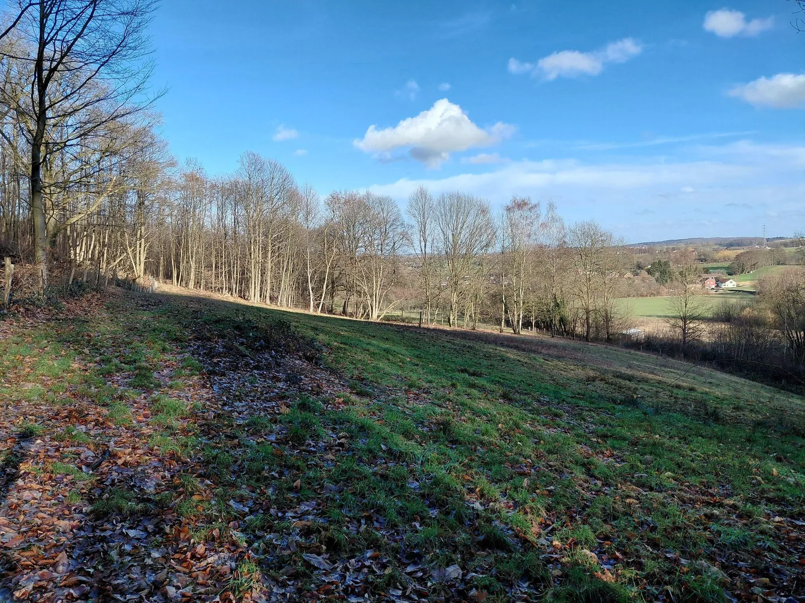
Species-rich calcareous grassland at Hageland (Belgium), representing a remnant of historically widespread semi-natural grasslands on sandy loam soils. Current conservation management focuses on restoring biodiversity through spring grazing and periodic mowing.
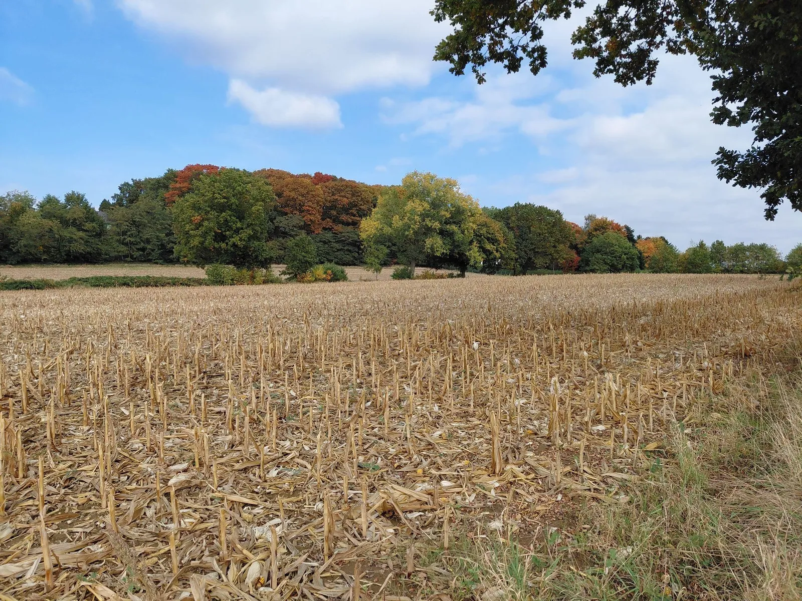
Recently harvested maize fields within a heterogeneous agricultural landscape, illustrating the presence of small landscape elements, such as solitary trees and adjacent woodland patches, contributes to structural diversity.
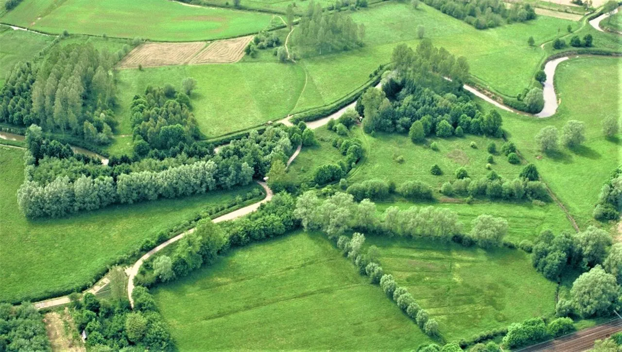
Multifunctional agricultural landscape characterised by a fine-grained mosaic of grasslands, hedgerows, tree lines and meandering waterways.
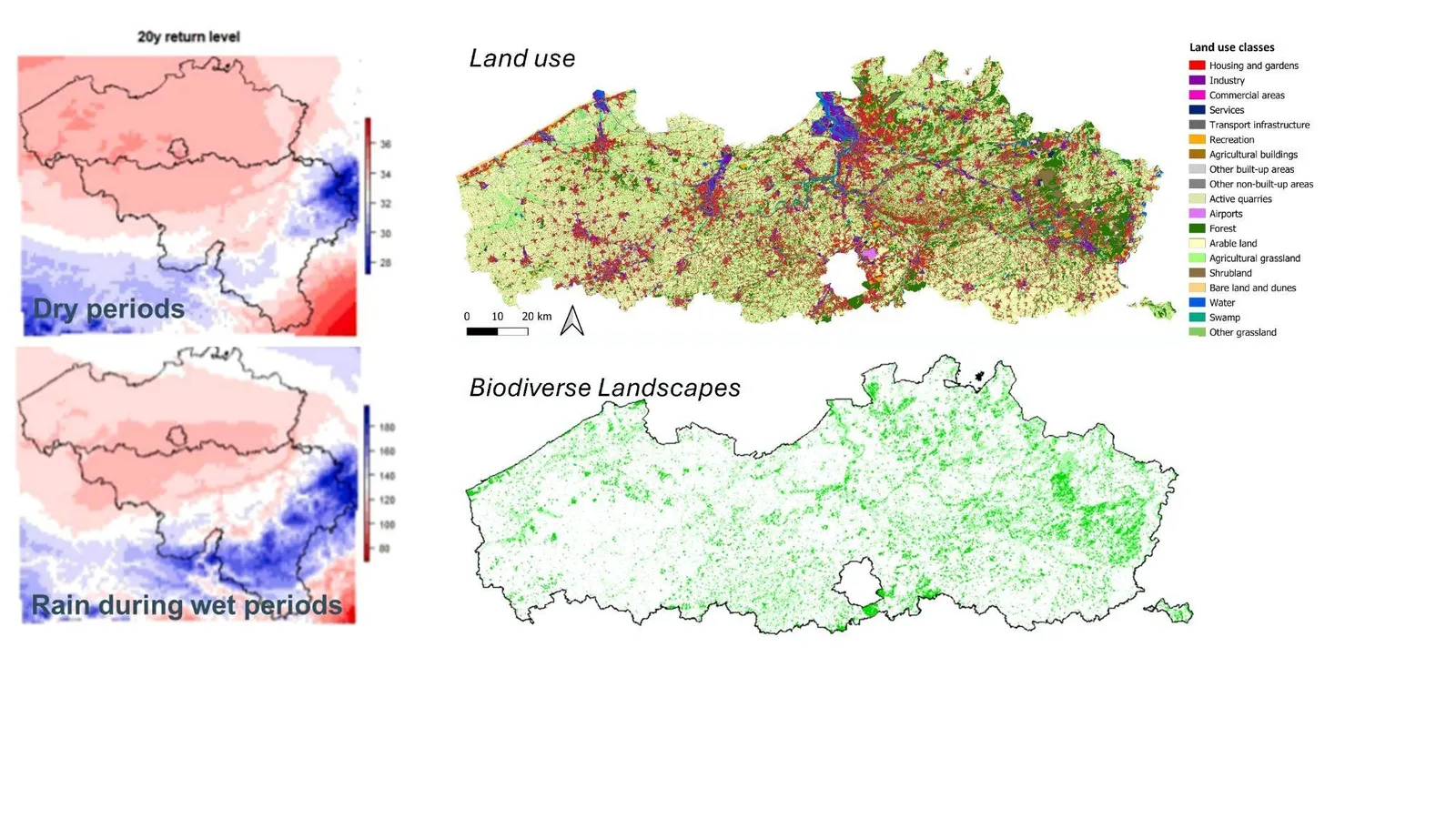
Spatial patterns of climate variability, land use and biodiversity in Flanders (Belgium). Left panels show long-term climatic indicators, including the 20-year return level of dry periods and precipitation during wet periods, highlighting regional gradients in hydroclimatic conditions. The upper right panel presents detailed land-use classes derived from geospatial data, illustrating the dominance of intensive agricultural systems interspersed with urban and semi-natural elements. The lower panel maps the distribution of biodiversity-rich landscapes, indicating fragmented but spatially structured ecological hotspots. Together, these layers provide an integrated view of climate-land use-biodiversity interactions in a highly managed agricultural region.
🌿 Follow KU Leuven to stay updated on cutting-edge research connecting climate, biodiversity and sustainable agriculture 🌍
🔵 LinkedIn
https://www.linkedin.com/school/kuleuven/
🐦 X (Twitter)
https://twitter.com/KU_Leuven
📘 Facebook
https://www.facebook.com/KULeuven
📸 Instagram
https://www.instagram.com/kuleuven/
🎥 YouTube
https://www.youtube.com/user/kuleuven