The BioClima project was presented at Země živitelka 2026, one of the largest agricultural exhibitions in the Czech Republic. The presentation formed part of the workshop “The Countryside of the Future – How European Projects Support Czech Agriculture and Rural Development”, held on 20 August 2026 at the České Budějovice Exhibition Centre.
Organised by WirelessInfo and Plan4all in cooperation with partners from several European projects, the workshop brought together representatives of the agricultural sector, municipalities, regions, local action groups, research organisations and other stakeholders interested in digital innovation, sustainable agriculture and rural development. The audience also included representatives of the Czech Ministry of Agriculture, the Technology Centre Prague, the Agrarian Chamber and agricultural practitioners.
Throughout the afternoon, participants were introduced to practical results from European projects focusing on artificial intelligence, agricultural data, digital education, innovative technologies, landscape planning and climate resilience. The programme provided space for questions, discussion, networking and the exchange of experience between researchers, technology providers and potential users of project results.
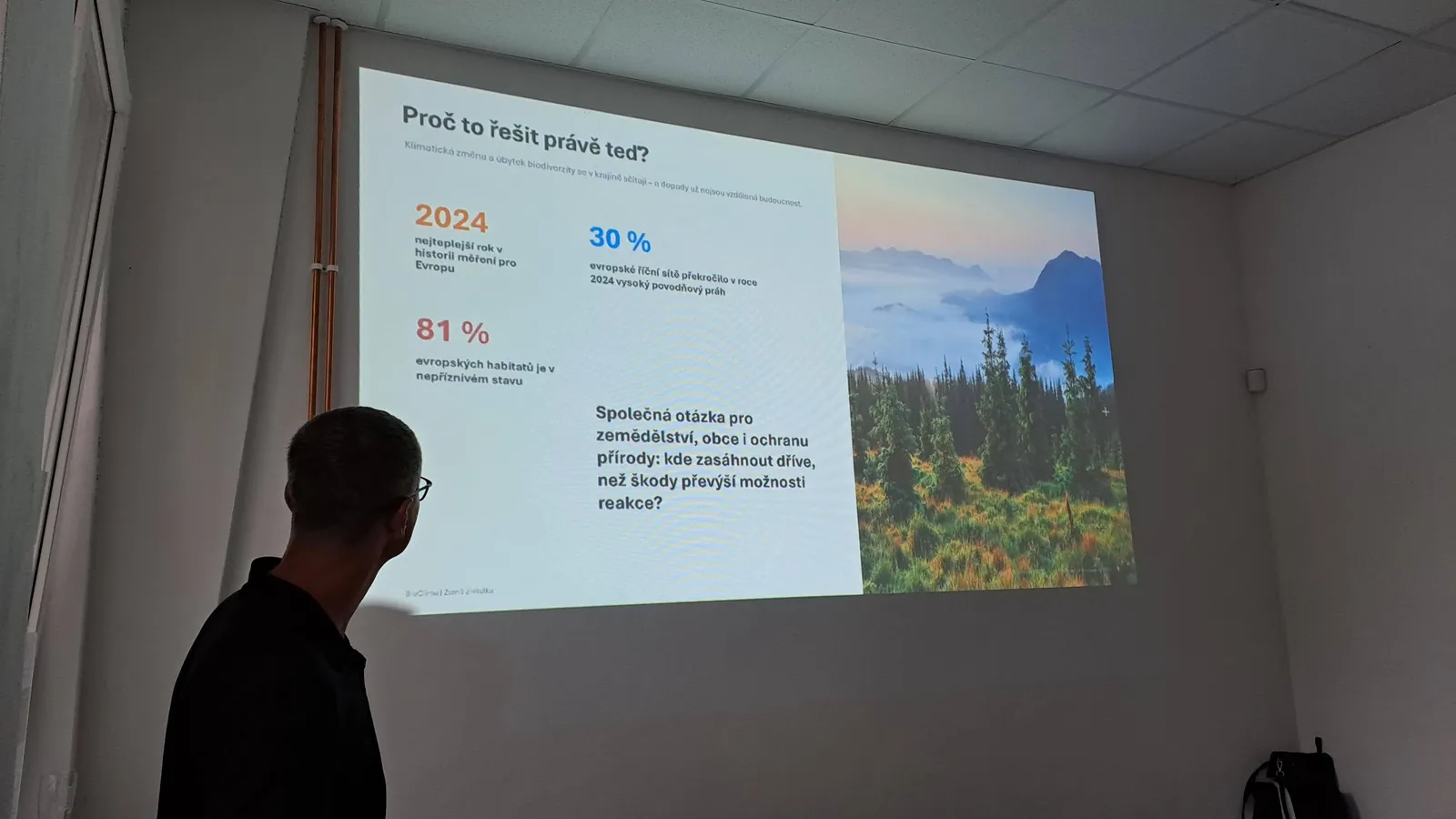
Climate and biodiversity must be monitored together
BioClima concluded the presentation part of the workshop. The project was introduced by Tomáš Mildorf from the University of West Bohemia in Pilsen, coordinator of the European part of BioClima.
His presentation, entitled “BioClima: From Satellite Data to a More Resilient Landscape and Biodiversity”, explained why climate change and biodiversity loss cannot be treated as separate challenges. Their impacts interact across landscapes and are increasingly being experienced by farmers, foresters, municipalities and local communities.
BioClima is an international research project developing harmonised systems for the integrated monitoring of climate and biodiversity in Europe and China. It combines Earth observation, field measurements and artificial intelligence models to improve the assessment of ecosystems and support evidence-based policies and practical landscape measures.
The project runs from January 2025 to December 2028 and brings together 37 partners from Europe and China. The European part of the project, coordinated by the University of West Bohemia, has a budget of approximately EUR 5 million.
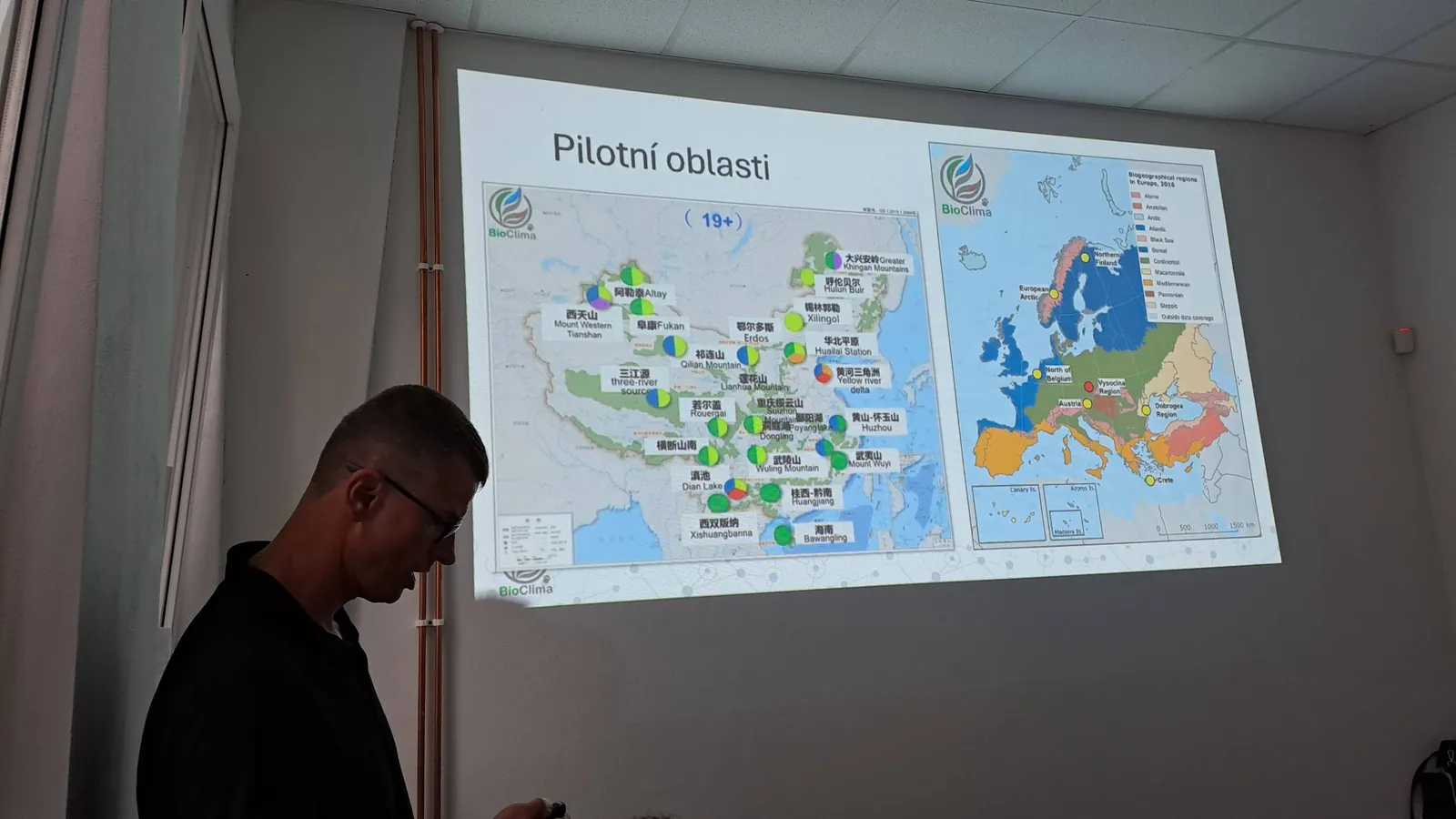
Tomáš Mildorf also presented the role of BioClima’s pilot areas, where satellite observations and computer models can be compared with detailed measurements collected directly in the landscape. This combination of different spatial scales is essential: satellites can monitor extensive territories, while field observations provide detailed information about individual habitats and local conditions.
BioClima focuses on a wide range of interconnected variables, including water availability, drought, wetlands, flood and erosion risks, forest stress, landscape structure, crops, grasslands and habitat connectivity. Artificial intelligence supports the analysis of these large datasets, the development of future scenarios and the identification of areas where further measurements are needed.
The main message was clear: AI does not replace knowledge of the landscape or human decision-making. It helps connect large amounts of data, assess possible developments and provide better evidence for decisions.
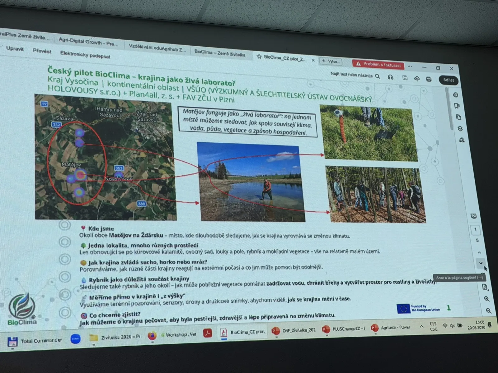
The Czech BioClima pilot: a living landscape laboratory
The general project presentation was followed by Šárka Horáková from Plan4all, who introduced the Czech BioClima pilot in the Vysočina Region.
The pilot is located around the village of Matějov in the Žďár area and is implemented by the Research and Breeding Institute of Pomology Holovousy, Plan4all and the Faculty of Applied Sciences of the University of West Bohemia in Pilsen.
Matějov serves as a “living laboratory” because several different types of environment can be found within a relatively small area. Researchers can study a forest regenerating after a bark beetle outbreak, an orchard, meadows, agricultural fields, a pond and wetland vegetation. This makes it possible to compare how different parts of the landscape respond to drought, heat, frost and other weather extremes.
Special attention is also paid to the pond and its surroundings, including the role of riparian vegetation in retaining water, protecting the banks and providing habitats for plants and animals.
From space to the soil
The Czech pilot combines observations from several levels – from satellites and aircraft to drones, vegetation surveys and sensors placed below the ground.
Sentinel satellite data are used to monitor vegetation and its condition, while Landsat provides, among other things, thermal information. These data are complemented by official aerial imagery and highly detailed RGB and multispectral drone surveys.
Directly in the pilot area, researchers carry out meteorological measurements, vegetation surveys and repeated observations on permanent monitoring plots. Soil moisture and temperature sensors have also been installed, and soil samples are collected for laboratory analysis.
The purpose is not simply to deploy as many technologies as possible. The real value lies in connecting measurements collected at different scales and using them to validate models and improve the interpretation of landscape changes.
First observations and the need for long-term monitoring
The Czech pilot has already provided its first observations, although it is still too early to draw definitive conclusions.
Researchers have documented the species composition and current condition of vegetation on the monitored plots. Newly established permanent plots will make it possible to observe how vegetation changes over the coming years.
The work also demonstrates that climate change is not only a matter of rising average temperatures. Episodes of drought and late spring frost may be equally important. Earlier plant development caused by warmer weather can make vegetation more vulnerable when frost returns later in the spring.
Young oak trees have so far shown promising resilience under local conditions. However, the researchers emphasised that this is only a preliminary field observation and should not yet be interpreted as a general recommendation for the whole Vysočina Region.
The most important resource for the Czech pilot is therefore time. Repeating the same measurements in the same locations over several growing seasons will help distinguish short-term fluctuations from long-term changes.
As highlighted during the presentation:
“The aim is not to reach a quick verdict. The aim is to obtain data that will support better decisions about the future of the landscape.”
The workshop showed how BioClima connects international research with concrete activities in a Czech pilot area. By combining satellite data, sensors, field observations and local knowledge, the project is developing information that can support farmers, municipalities, researchers and public authorities in making landscapes more resilient to climate change while protecting biodiversity.
The presentations were followed by questions, discussion and informal networking, allowing participants to exchange experience and explore opportunities for further cooperation.
Presentations to download