🛰️ Summer Monitoring Activities in the BioClima Case Study Vysočina Region (the Czech Republic)
Permanent vegetation plots, UAV surveys, and biodiversity monitoring are advancing long-term ecosystem observation in the BioClima Vysočina Case Study
 Jiri Sedlak - RESEARCH AND BREEDING FRUIT INSTITUTE HOLOVOUSY s.r.o. (VSUO)
•
July 27, 2026
Jiri Sedlak - RESEARCH AND BREEDING FRUIT INSTITUTE HOLOVOUSY s.r.o. (VSUO)
•
July 27, 2026
As part of the ongoing semi-operational trial (Case Study) of the BioClima project, a new field campaign was carried out on 15 July 2026 in the Case Study locality within the Vysočina region. The visit focused on the continuation of integrated environmental monitoring, preparation of permanent observation plots for long-term vegetation assessment, and acquisition of high-resolution remote sensing data. The activities further strengthen the comprehensive monitoring framework established to evaluate ecosystem responses to climate change and support the development of adaptive management strategies.
Establishment of Permanent Vegetation Monitoring Plots
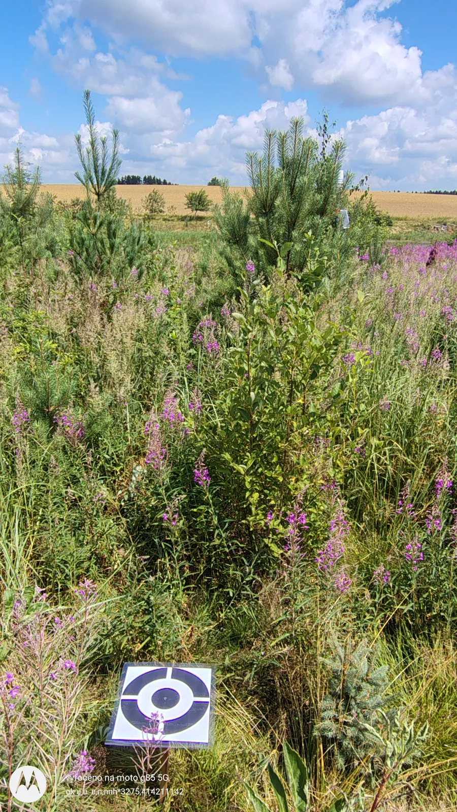
During the field campaign, permanent monitoring corridors were established for detailed phytocoenological surveys. Individual vegetation plots were accurately marked using geodetic measurements to ensure precise spatial localisation and long-term repeatability of observations. In addition, a system of specialised ground control targets was installed to facilitate accurate orientation and georeferencing of unmanned aerial vehicle (UAV) observations. These permanent reference points will allow repeated monitoring of vegetation dynamics throughout the project duration and enable direct comparison of datasets collected during different vegetation seasons.
UAV-Based Remote Sensing of Vegetation
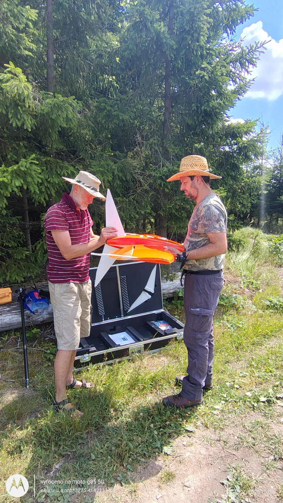
Selected monitoring sites were surveyed using the WingtraOne fixed-wing vertical take-off and landing UAV equipped with multispectral and photogrammetric sensors. The multispectral imagery includes blue, green, red, red-edge and near-infrared spectral, providing detailed information on vegetation condition and spatial variability. The acquired imagery will support the assessment of plant vitality, canopy development, species composition and temporal changes in vegetation structure. Integration of multispectral and photogrammetric datasets will also provide highly accurate digital surface models and orthomosaics for subsequent ecological analyses.

Monitoring of Orchard Condition and Biodiversity
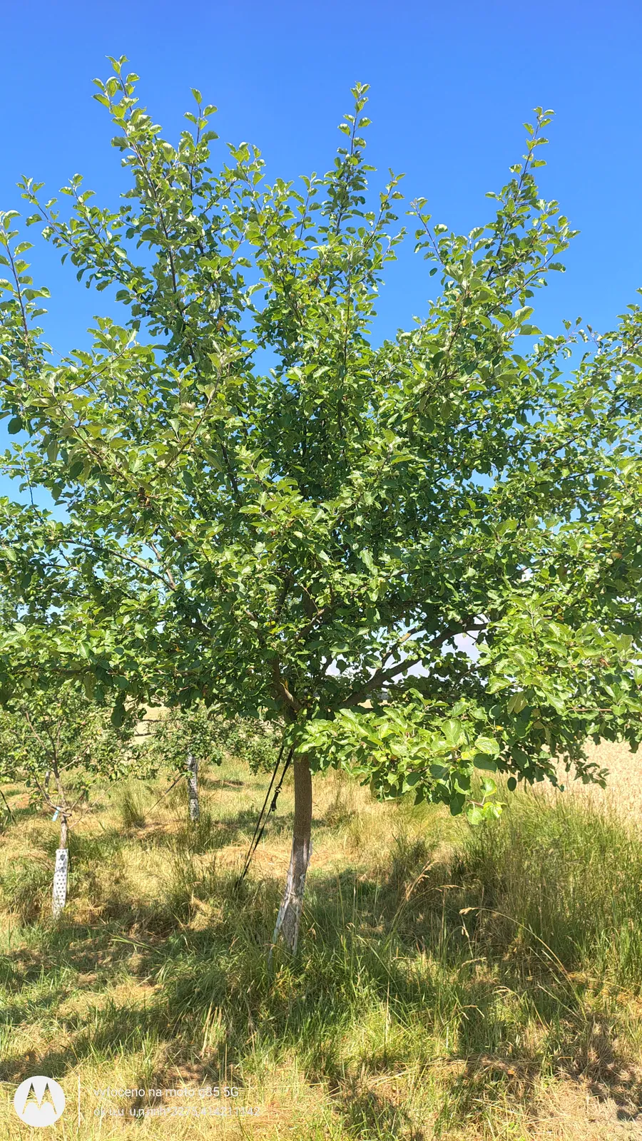
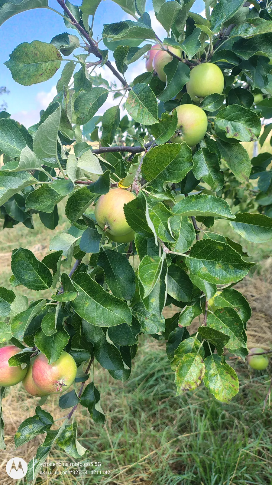
Field observations included a detailed assessment of the experimental orchard, with particular attention paid to the physiological condition of fruit trees and the identification of dead individuals requiring replacement. Continuous evaluation of tree survival is essential for maintaining the long-term functionality of the experimental site and ensuring consistency of future monitoring activities. Biodiversity surveys simultaneously focused on the development of forest tree species established within the Case Study area and on the dynamics of competing vegetation, which may influence establishment success, growth performance and ecosystem stability.
Assessment of Pond Littoral Zone Management
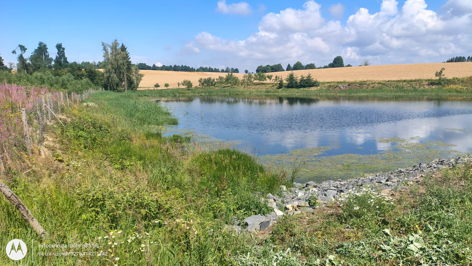
The ecological condition of the pond and its littoral zone was evaluated with emphasis on the management of reed vegetation. Proper maintenance of littoral vegetation represents an important ecosystem management measure, as emergent macrophytes contribute to the removal of excess nutrients, particularly nitrogen and phosphorus, thereby reducing the development of undesirable algal and cyanobacterial blooms. At the same time, well-managed reed stands increase habitat heterogeneity, support aquatic and terrestrial biodiversity and contribute to shoreline stabilisation and erosion control. The collected observations will support optimisation of future management practices within the monitored wetland ecosystem.
Assessment and Monitoring Infrastructure
Furthermore, all installed meteorological monitoring equipment was inspected to verify proper operation of environmental sensors and data logging systems. Reliable meteorological observations remain fundamental for interpreting vegetation responses under changing climatic conditions.
Planning of Subsequent Monitoring Activities
The July campaign also served as preparation for the next phase of seasonal monitoring planned for August. Future activities will include repeated vegetation assessments and additional UAV surveys to capture ongoing phenological development during the growing season. An important component of the forthcoming analyses will be the comparison between project-specific UAV observations and the official aerial imagery acquired by the Czech Office for Surveying, Mapping and Cadastre (ČÚZK) for the Žďár region in 2026. The combination of these complementary datasets will provide a valuable basis for validating remote sensing outputs, improving spatial analyses and supporting long-term evaluation of landscape and vegetation changes within the BioClima Case Study.